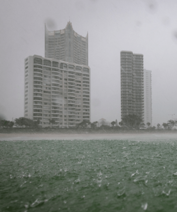
The Gold Coast is bracing for another potential downpour with the Bureau forecasting up to 60mm of rain to hit the city on Wednesday.
It’s all thanks to ex-Tropical Cyclone Diane which crossed the West Australian coast a few days ago and is now making its way to the east coast.
The system is currently moving across the Northern Territory and will reach western parts of Queensland today.
It’s then expected to reach the Gold Coast by Wednesday afternoon.
“It might be a brighter start to the day but I think before lunchtime it’s going to cloud over and some of that rain will arrive through the second half of Wednesday,” BOM senior forecaster Angus Hines said.
“It could bring some pretty reasonable accumulations as well, the chance of 50-60mm around parts of the Gold Coast.”
Given the amount of recent rain we’ve had, the BOM is warning tomorrow’s downpour could lead to more flooding.
“The ground is so wet it can’t absorb any more of what does fall in the next few days that means any rain just flows straight into the river network and will lead to some renewed river rises.”
While Wednesday is tipped to be pretty wet, it should ease back to showers on Thursday before a partly cloudy Friday.