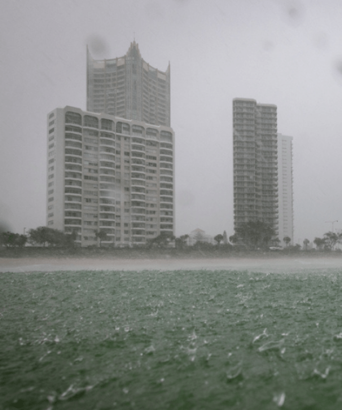
Anyone with outdoor plans this week may want to reschedule, with wet and windy conditions expected across the Gold Coast.
Scattered showers and hazardous surf conditions are forecast to persist across the city from today right up until the weekend.
Meteorologist Helen Reid has told myGC it’s due to a large high-pressure system sitting off southern New South Wales.
“We do have a very stable situation in the sense of a ridge of high pressure maintaining its position right across the southern parts of the continent of Australia.
“That’s allowing an onshore flow to come in and bring in showers each day”.
Ms Reid said the rainfall isn’t expected to be too heavy.
“Each day we’re seeing between 5 and 10 millimetres come through with those showers throughout the Gold Coast, a little bit more about the Hinterland”.
However, conditions are expected to ramp up on Thursday, with up to 20 millimetres of rain forecast.
“We are expecting that pattern to continue for the coming week, but there is a slight difference on Thursday when we will get even more rainfall as there’s a bit of a change going through in the upper atmosphere to help those showers become a little bit wetter,” Ms Reid said.
A hazardous surf warning also remains in place for Gold Coast waters, with dangerous conditions being whipped up by strong winds.
“We would normally see those winds being a little bit more of a southeasterly direction rather than an easterly as we have at the moment,” Ms Reid said.
“It is a coastal thing and we will eventually see those winds shift a little bit more and we will eventually see those blue skies come through, but it isn’t looking like this week at the moment”.