It may not look or feel like it right now, but the Gold Coast is in for a drenching over the next couple of days.
A cold front is expected to move up from the south on Friday, bringing with it both humid temps and heavy rainfall.
“What it’s going to do is it’s going to intensify heat ahead of that cold front and then it’s also going to condense moisture,” Meteorologist Miriam Bradbury told Hot Tomato.
“What that means is we do have a few very warm days on the way, particularly tomorrow”.
The mercury is forecast to soar to 33C at the Gold Coast Seaway, while Surfers Paradise will be even warmer, with a top of 34C on Thursday.
The weather bureau says a cool shift will then sweep through the city, dropping temperatures back down to the 20s by Friday.
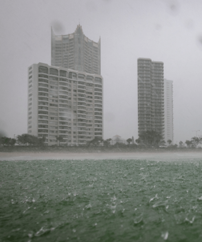
“We’re then likely to see rain areas, showers and thunderstorms increasing, with the risk of locally heavy falls,” Bradbury said.
At this stage, more than 120 millimetres of rain has been forecast to fall from Friday through to Sunday, but there’s a chance totals could be even higher depending on where the storms form.
“In the weather spots we could see anywhere from 50 to 100 millimetres or more per day, however again, that will depend on thunderstorms,” Bradbury added.
“We will have a clearer picture of that as we go into that period directly, but in the meantime, it’s just a period where Gold Coasters should prepare themselves for a wet end to the week and unfortunately a wet weekend continuing”.
The system is expected to move offshore by Monday, with showers and storms easing.