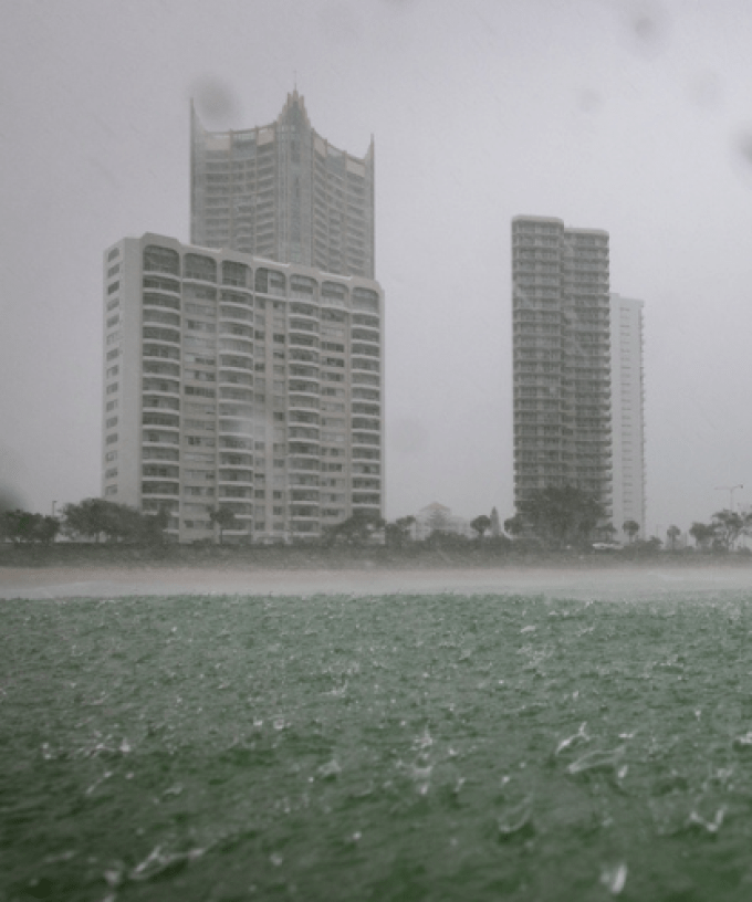
The Gold Coast is bracing for wild weather, with severe thunderstorms forecast to sweep across the region this afternoon.
The storms could bring pockets of heavy rainfall, damaging winds and large hail.
Bureau of Meteorology forecaster Jonathon How says thunderstorms are expected to develop across the Scenic Rim region from late morning and early afternoon before moving towards the coast.
“We are forecasting quite an unsettled and stormy day right across the Gold Coast and south-east Queensland,” Mr How says.
“We did see a few thunderstorms roll through the Scenic Rim late last night and some lightning and thunder across the Gold Coast, but really today we are expecting a much bigger day,
“With those dangerous thunderstorms, we could even see intense rainfall, destructive winds as well as large to giant hail, so this is conditions which can cause damage to properties, vehicles, and vegetation.”
The wild weather is being driven by a combination of high humidity, moisture and a cold front.
“We are right in the middle of storm season across southeast Queensland, but today we are seeing all of the critical storm ingredients line up,” Mr How says.
“It’s very humid out there on the Gold Coast today, and we are also seeing a cold fun pushing through southern parts.”
Heavy rain across our already sodden grounds could also lead to flash-flooding.
A strong wind warning is also already in place for Gold Coast waterways.
The stormy conditions are expected to clear overnight, with sunshine returning tomorrow ahead of a mini-heatwave as temperatures climb into the low-to-mid 30s.
The Gold Coast is forecast to reach 32 degrees on Wednesday, before temperatures peak at around 34 to 35 degrees on Thursday.
The sudden rise in temperatures is being driven by a change in wind direction.
The mercury will cool back down to 26 degrees on Friday.