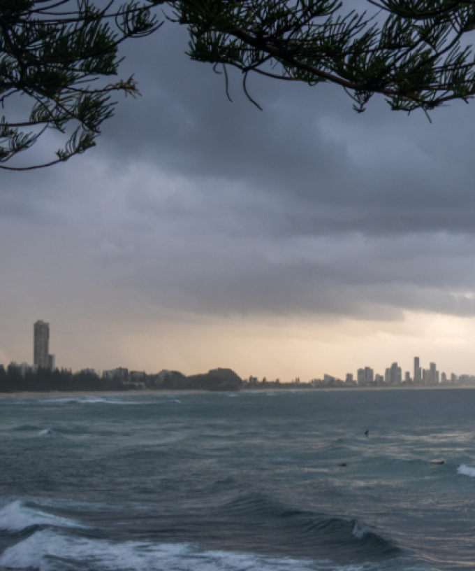
It’s set to be hot and muggy across the Gold Coast today, which could trigger some storm action.
The weather bureau has warned we could see a severe thunderstorm develop across the city as the mercury prepares to reach 31 degrees.
Damaging winds, large hail and heavy rain which may lead to flash flooding is all possible.
Meteorologist Angus Hines says if the wild weather does develop, it will likely hit from late this afternoon.
“That risk does greatly increase through the second half of the afternoon as a band of more active and stormy weather is forecast across the Gold Coast area, perhaps around 5pm this evening,” Hines said.
“Once that moves through, that’s where that thunderstorm potential really ramps up, so we could see some thunder and lightning of course, but we could also see some bursts of heavy rainfall, there’s even a chance that we could see some strong or damaging wind gusts and even some large hail stones”.
Mr Hines said there’s a couple of contributing factors to the storms potentially developing.
“The heat and the humidity that we’re experiencing today, those are two of the key crucial ingredients that go into feeding thunderstorm development,” he said.
“So the fact that we’ve got those conditions today, even before the storms arrive, is going to contribute to that buildup activity once those storms do kick in.
“On top of that, we’re seeing a weather system pass through this afternoon, it’s a low-pressure trough that’s passing through around that 5 or 6pm period, so that’s when the storms are going to get most active.
“It often is in Southeast Queensland, it’s a combination of a weather system, whether that’s a wind change, a low-pressure trough, or a cold front mixing in with warm and humid air that can really cause those storms to kick off”.