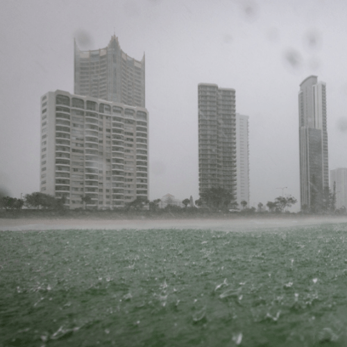
A flood watch has been issued for parts of the northern Gold Coast ahead of a weekend drenching.
The wet weather system is expected to make its way up to the southeast by Friday, dumping as much as 270 millimetres of rain over the next three days.
Residents living near the Logan and Albert Rivers have already been put on alert, with an initial flood watch for possible ‘minor flooding’ issued for the area.
“A trough will move east over southern and central Queensland from Thursday and linger for the remainder of the week, drawing deep tropical moisture more broadly across the state and enhancing shower and storm activity over multiple days,” the weather bureau said.
“Moderate to heavy falls are likely across the Flood Watch area from later Thursday.
“Catchments are relatively dry within the Flood Watch area which may initially slow the response to rainfall. However, river level rises and areas of localised flooding are likely across the Flood Watch area.
“Minor flooding is possible from Friday and into the weekend, with rapid river level rises and moderate flooding also a possibility in areas that receive the heaviest rainfall”.
The Bureau of Meteorology said the situation will be monitored closely as there is “significant uncertainty in the location and timing of the heaviest falls, particularly from Saturday onwards”.
The catchments likely to be affected include:
Dawson and Don Rivers
Burnett River
Mary River
Upper Brisbane River
Logan and Albert Rivers
Condamine Rivers
Balonne River
Lower Brisbane River (Bremer River, and Warrill, Lockyer, Laidley, Ipswich and Brisbane creeks only)