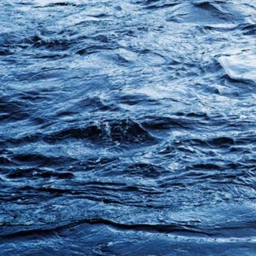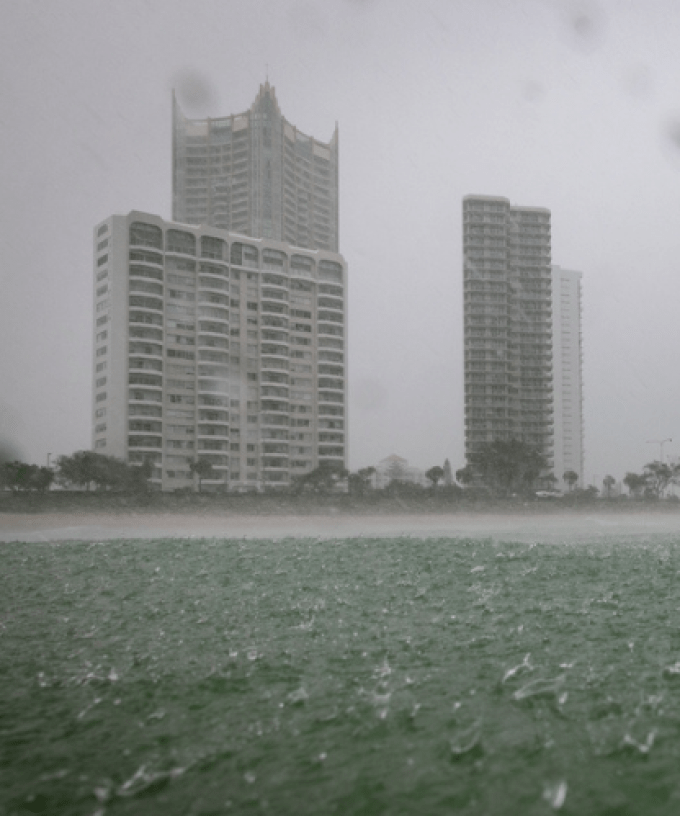
It may be time to whip out the gum boots, with the Gold Coast on flood watch this week as wet weather settles in over the South East.
The Bureau of Meteorology warns the city could see over 100 millimetres of rain over the next few days.
At this stage, Monday and Wednesday look to be the wettest, with 45 millimetres of rain forecast to fall today, with another 40mm on the cards for Wednesday.
“An upper trough system is interacting with deep moisture and sustained onshore winds to generate widespread showers and isolated thunderstorms over central and eastern Queensland,” the weather bureau said.
“The upper trough will track south down the east coast from Monday, moving offshore late on Wednesday”.
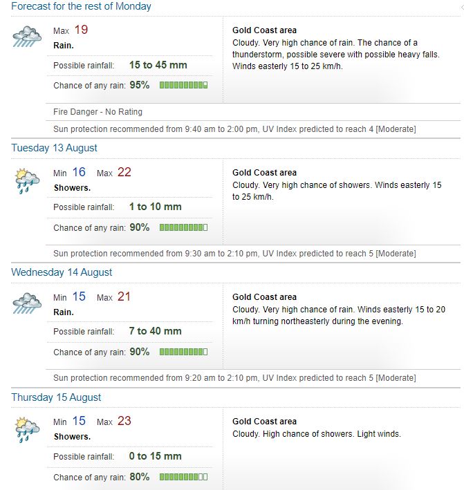
The Bureau says “moderate to locally heavy rainfall” is possible over the Flood Watch Area from Monday until Wednesday, before easing on Thursday.
“There is a significant amount of uncertainty in the timing and location of the rainfall, although the coast and adjacent ranges are most likely to see the heaviest falls,” BOM said.
“Localised river level rises and flash flooding are likely within the areas of heaviest rainfall, with isolated minor riverine flooding possible”.
Council has opened up sandbagging stations for Gold Coast residents who fear their properties may be at risk of flooding.
They can be located at 196 Old Pacific Highway, Pimpama and 42-44 Boyd Street, Bilinga.