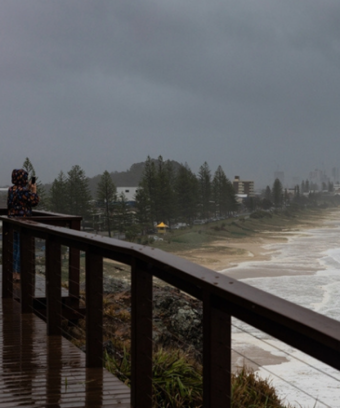
UPDATE @ 5,30PM, December 31 | The Gold Coast faces being battered again with forecasts of up to 200mm of rain across parts of the city on Monday.
The Bureau has issued a severe weather warning and a flood watch for the Gold Coast with showers and storm activity set to increase tomorrow.
It’s all thanks to a persistent, humid easterly airflow and a subtle coastal trough near the southeast Queensland coast, together with an upper-level trough.
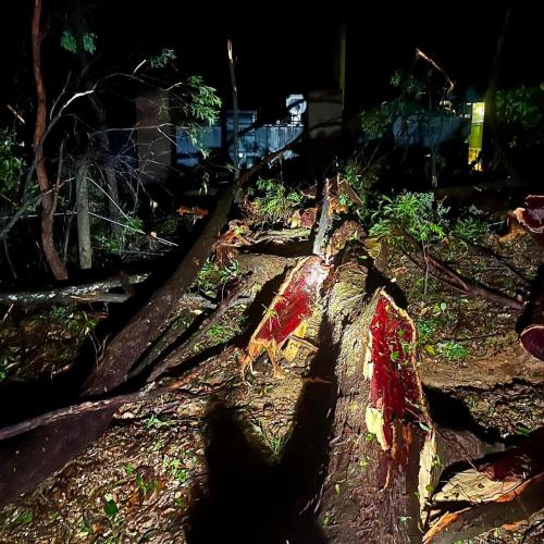
The Bureau is warning of heavy rainfall which may lead to flash flooding.
The city could see three to six hourly rainfall totals of between 80mm and 160mm, with the possibility of isolated falls as high as 200mm, particularly in the ranges.
“There is a risk that heavy rainfall could develop as soon as the early hours of Monday morning, but the risk becomes more likely by the afternoon,” BOM has warned.
“There is significant uncertainty in the movement and timing of features, but at this stage, the heavy rainfall risk may persist into Tuesday morning.”
The severe weather warning also covers the Northern Rivers of New South Wales where the Bureau warns isolated 24-hour falls of up 250mm are possible.
A flood watch is in place for Gold Coast rivers and creeks as well as the Logan and Albert Rivers.
“Localised river level rises and flash flooding are likely within the areas of heaviest rainfall, with isolated minor to moderate riverine flooding possible.
“Although the Flood Watch area is quite large to reflect the broad area at risk, widespread flooding is NOT expected.”